John Muir Trail Photos, Day 18: Mount Whitney

After 18 days on the John Muir Trail, I stood on Mount Whitney, the tallest point in the contiguous United States. My 16-month stretch of being unemployed and homeless on some of America's great trails came to an end. Actually, I don't like that word, "end.” It suggests that I'm going back to the way things were. I don’t think that is possible anymore. I think I’ll just take some time off to work.

That's how much my life has changed since I decided to hike the Appalachian Trail last year, I just used, "Time off," to refer to the time when I'm working.
Hitchcock Lake
Guitar Lake
Whitney Junction
Heading Up Mount Whitney
Hiking to Mount Whitney
Nearing the Whitney Summit
Ranger's Station on Mount Whitney Summit
From the Whitney Summit
Near the Whitney Summit
Whitney Summit Sign


John Muir Trail Photos, Day 17: Forester Pass

Standing on Forester Pass, at an elevation of 13,153 feet, I stared into the thirtieth national park I’ve seen since leaving home last year. With Kings Canyon behind me, I crossed over the boundary into Sequoia National Park.

This road trip lasted three months, but it feels like at least double that. When I told someone that I was surprised only three months had passed, they were surprised it had been that long. To them it seemed like I left only a month ago. Six months to one. I think I discovered the secret to longevity. I've been going at it all wrong. I had been trying to live a healthy lifestyle to extend my life, but that doesn't guarantee longevity. Killing monotony and repetition, however, does.

In the words of the great philosopher, Eddie Vedder, "I escaped it, a life wasted. I'm never going back again."

Heading to Forester Pass
Sunset on Forester Pass
First Look Into Sequoia National Park
Last Look at Kings Canyon National Park
Forester Pass, Sequoia / Kings Canyon Boundary

  
Creative Commons License
A Backpacker's Life List by Ryan Grayson is licensed under a Creative Commons Attribution-NonCommercial-NoDerivs 3.0 Unported License.   

John Muir Trail Photos, Day 16: Independence, CA

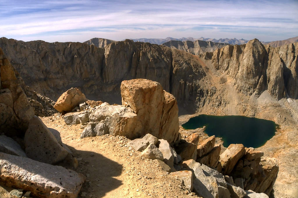
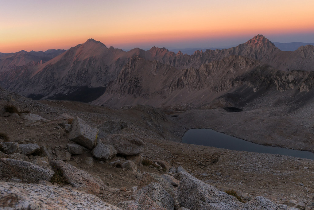
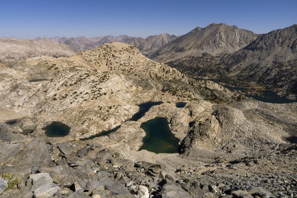
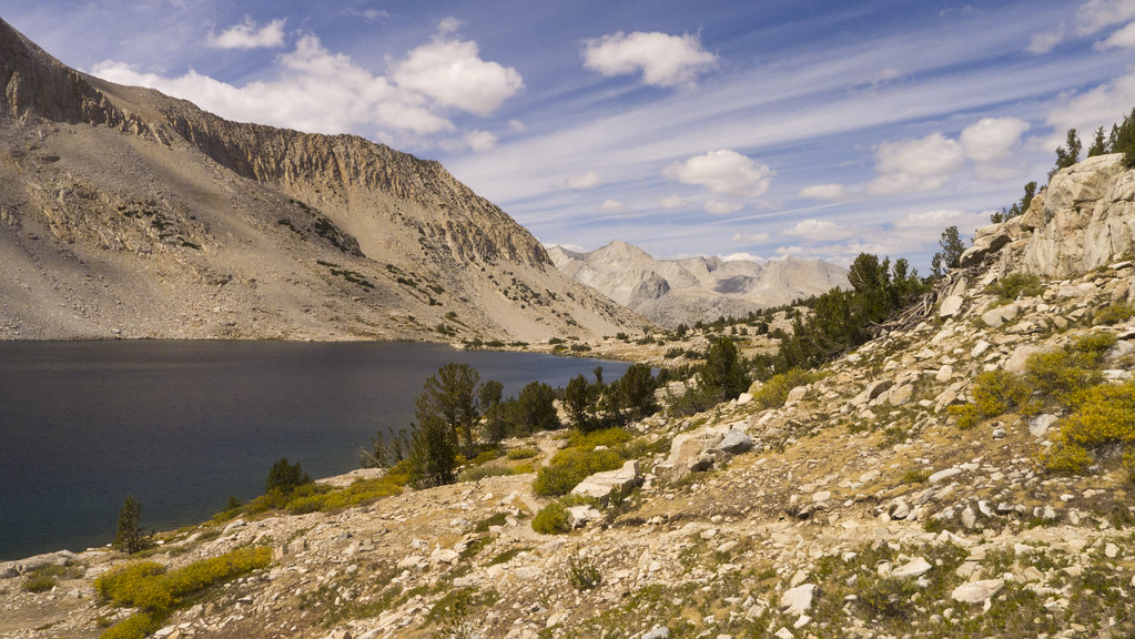
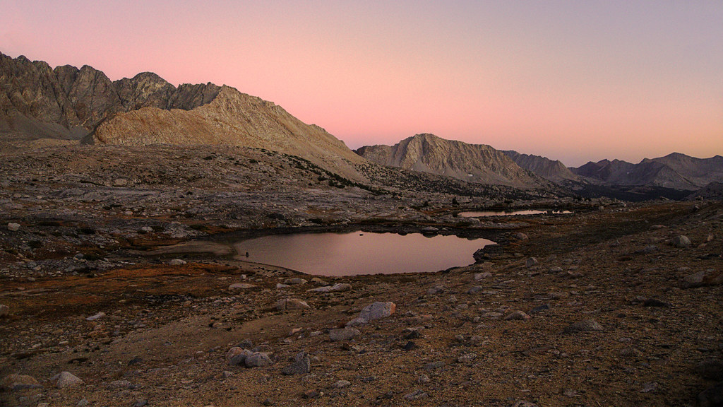
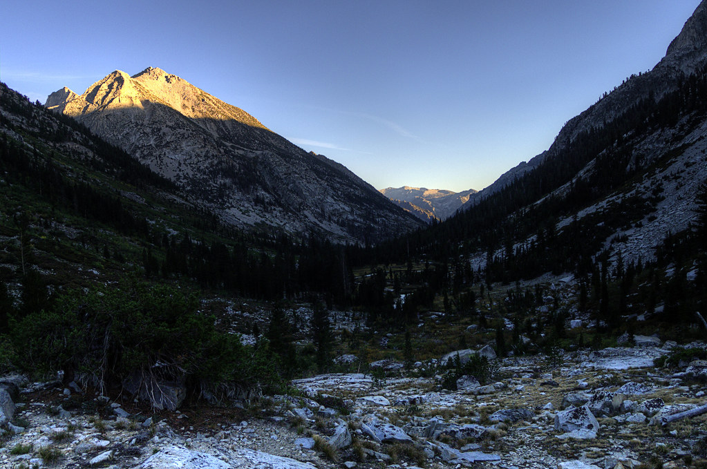
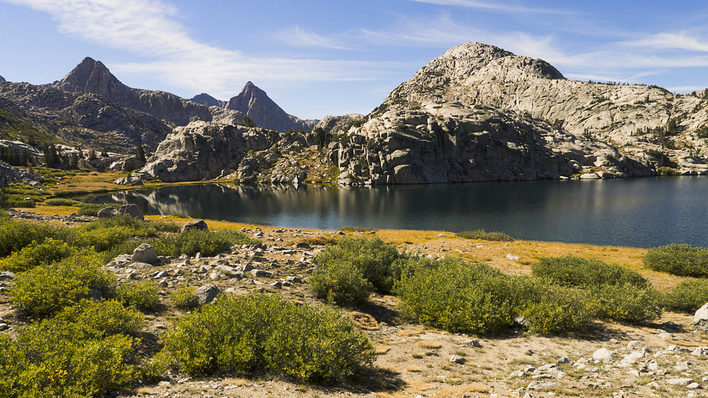
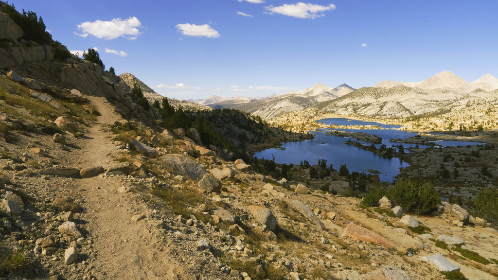
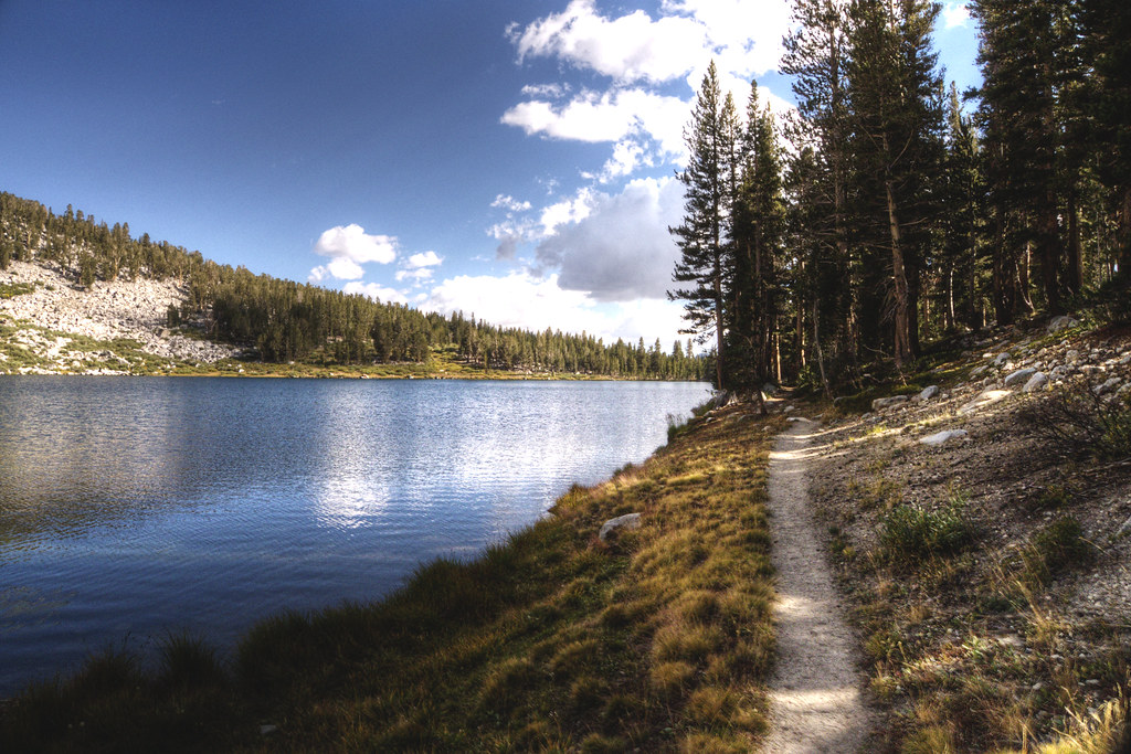
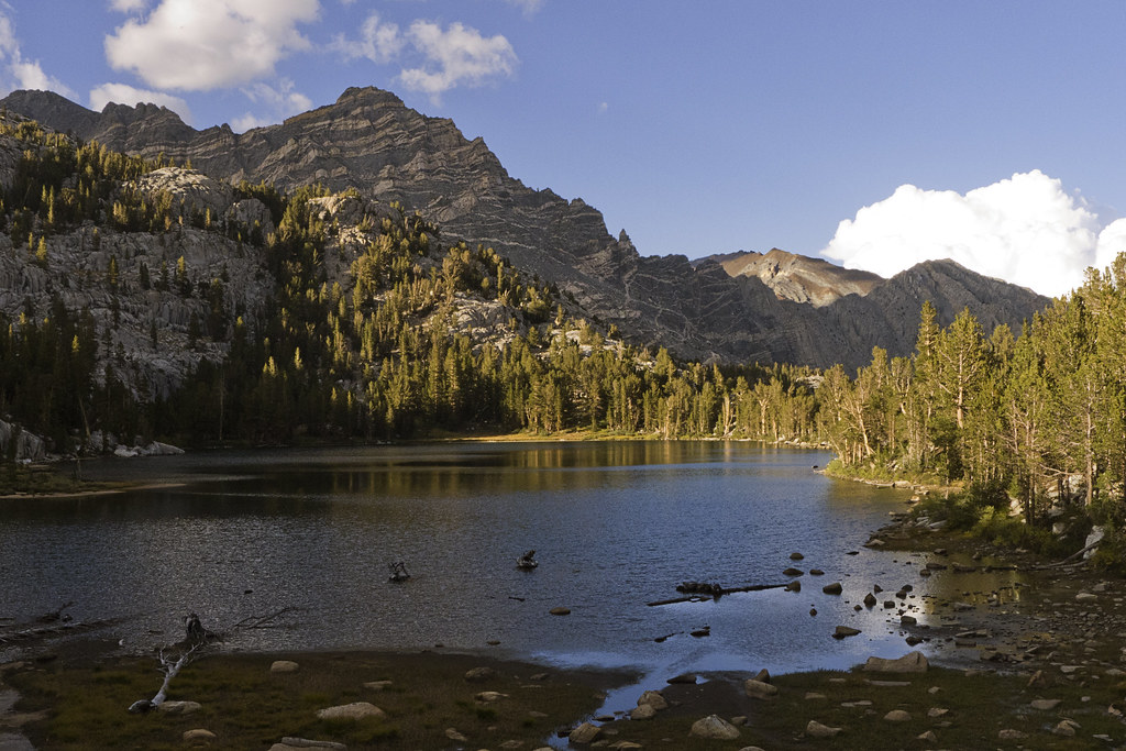
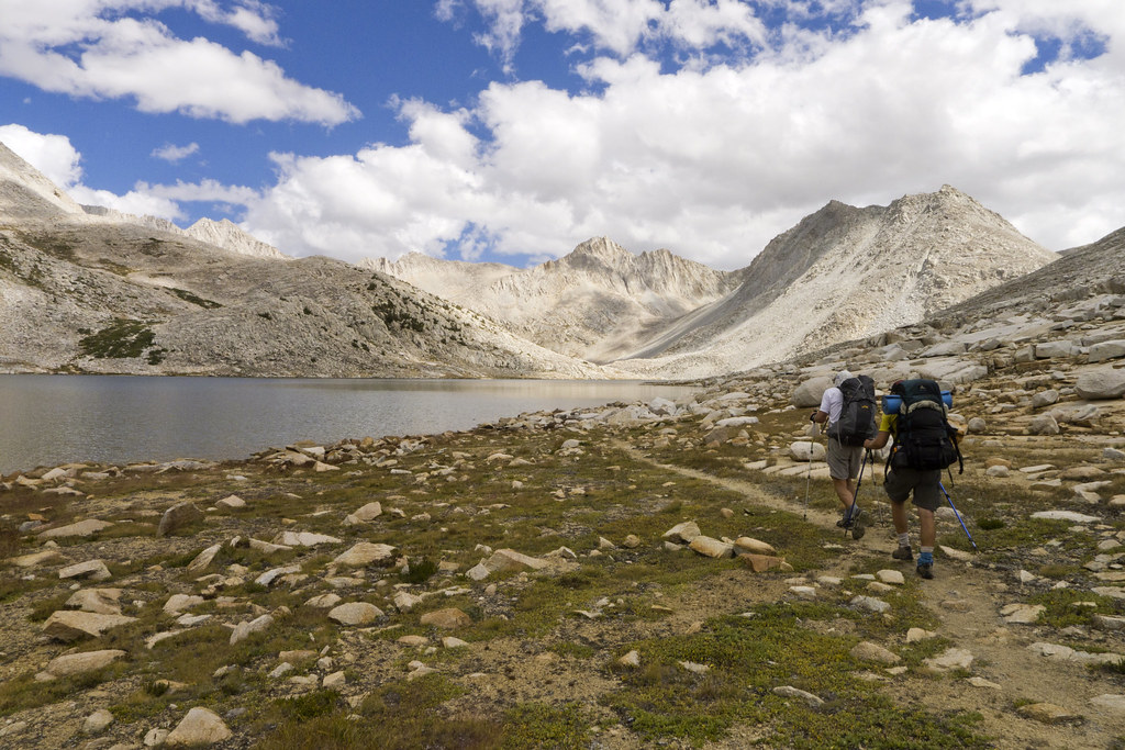
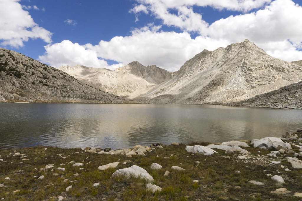
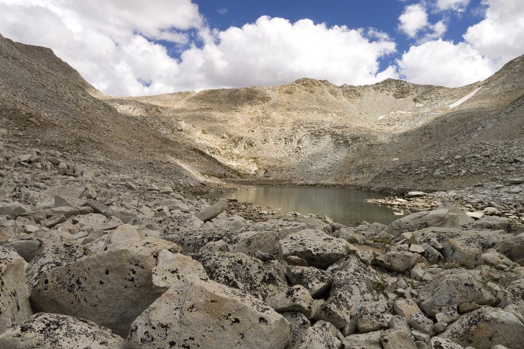
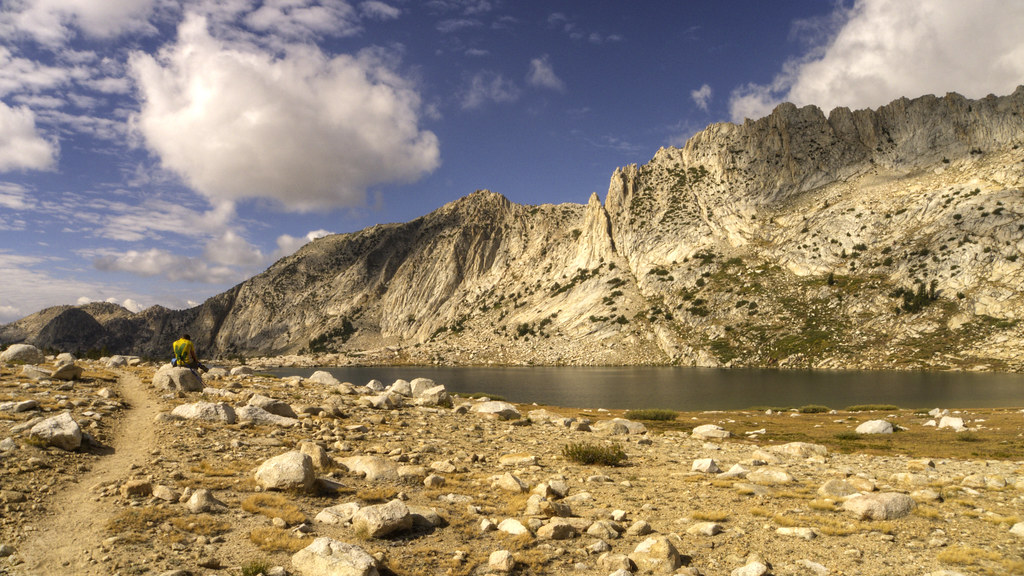
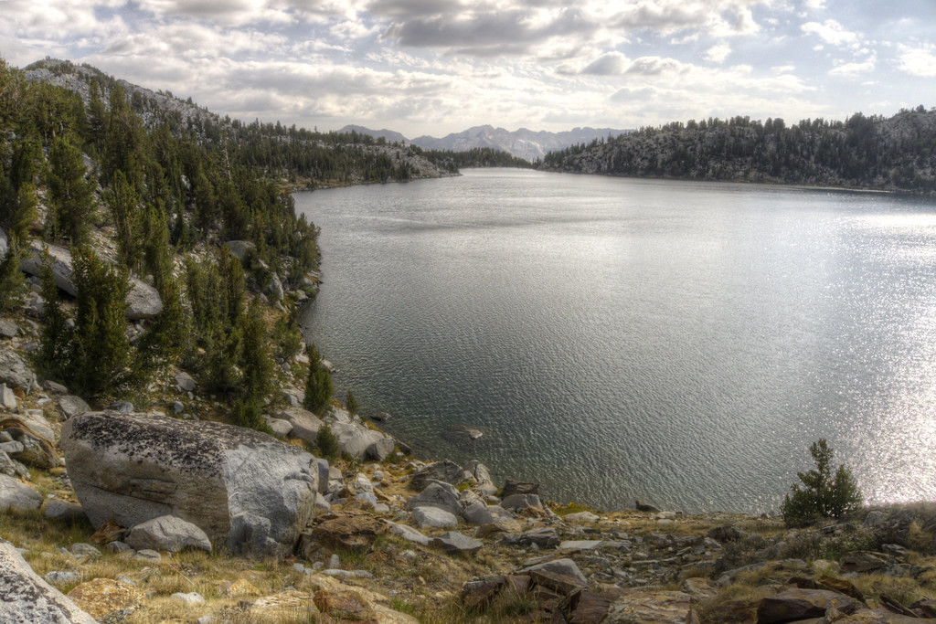
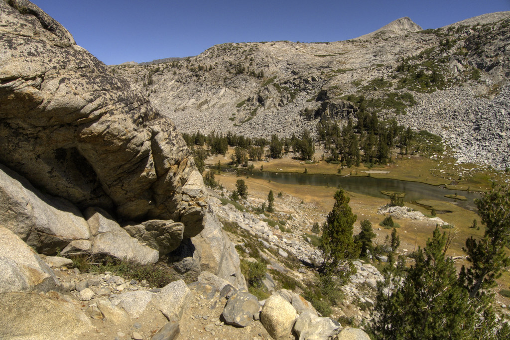
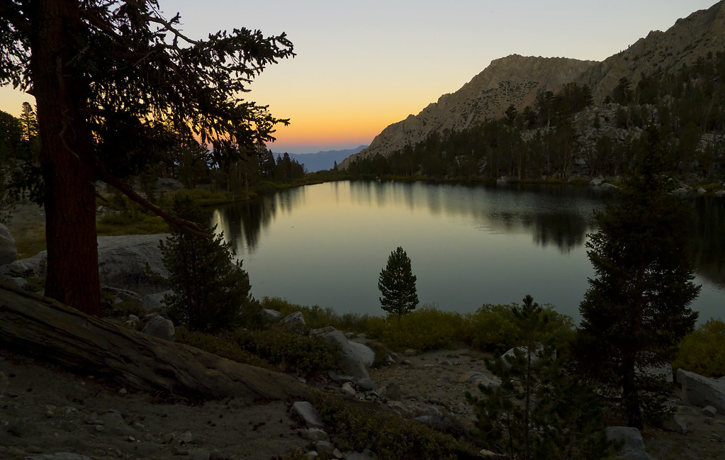
Lake Near Kearsarge Pass
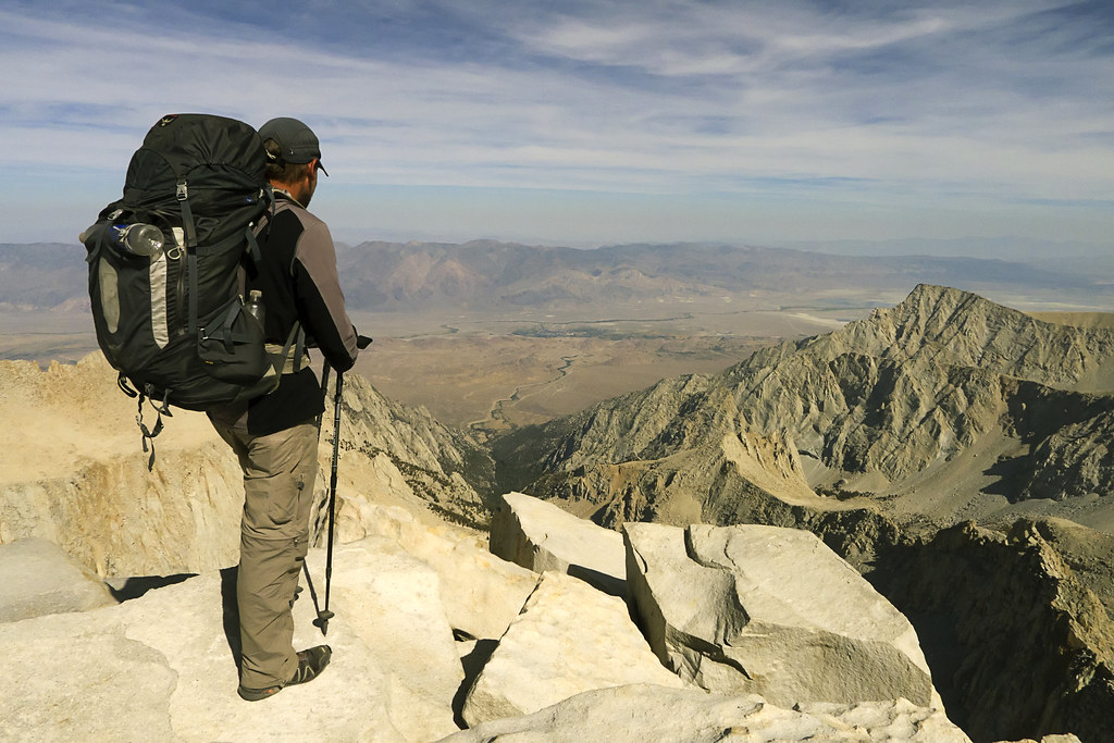
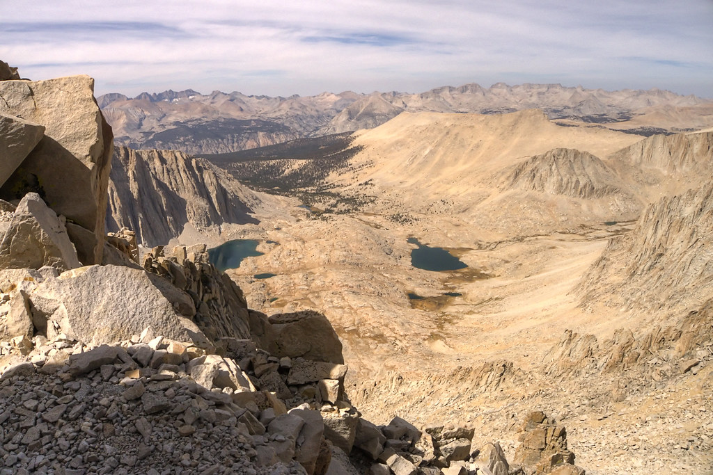
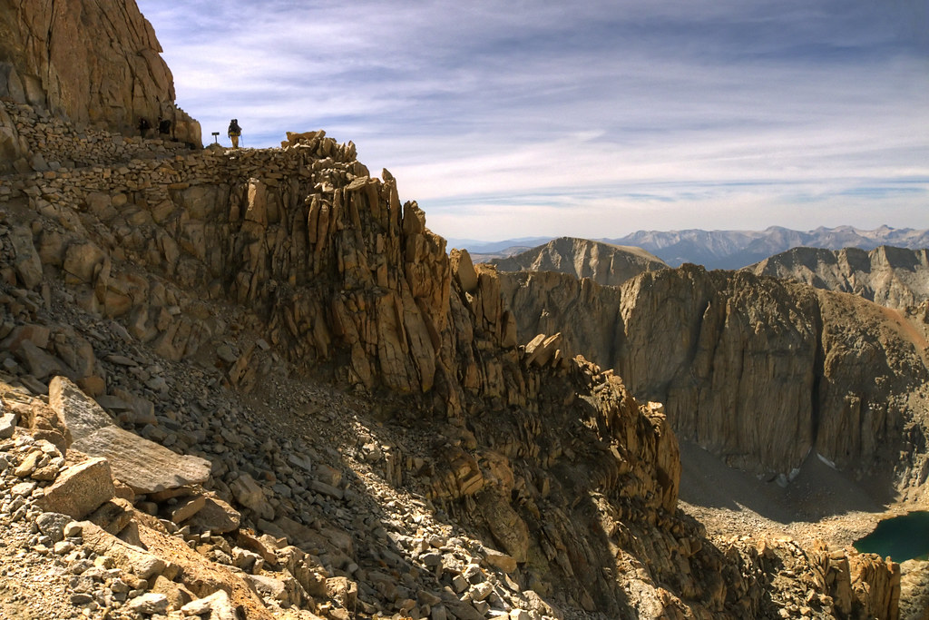
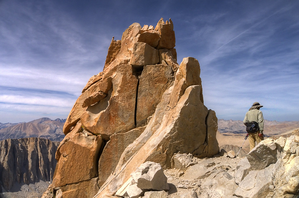
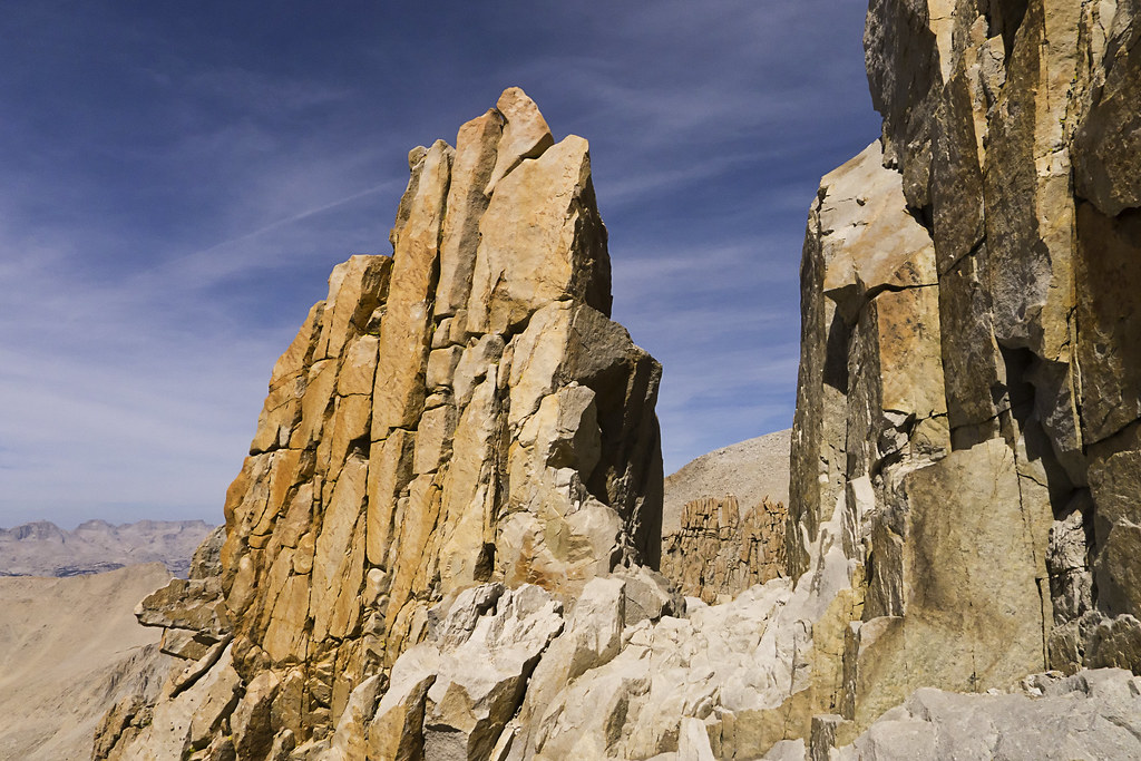
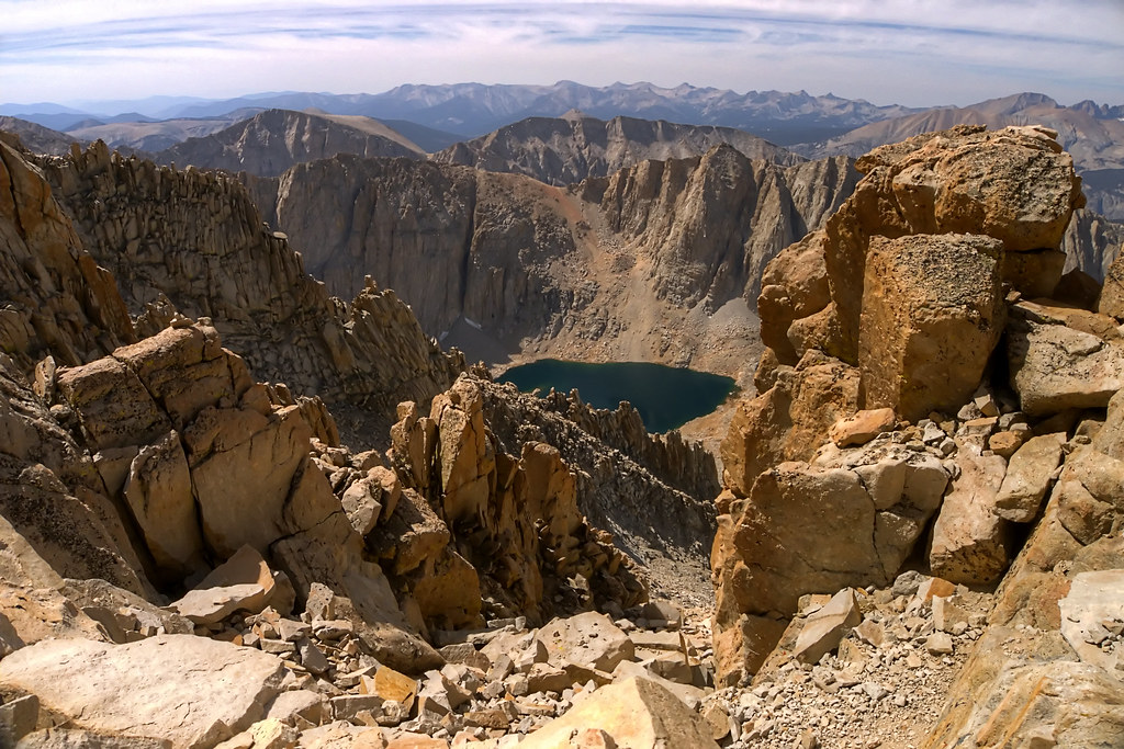
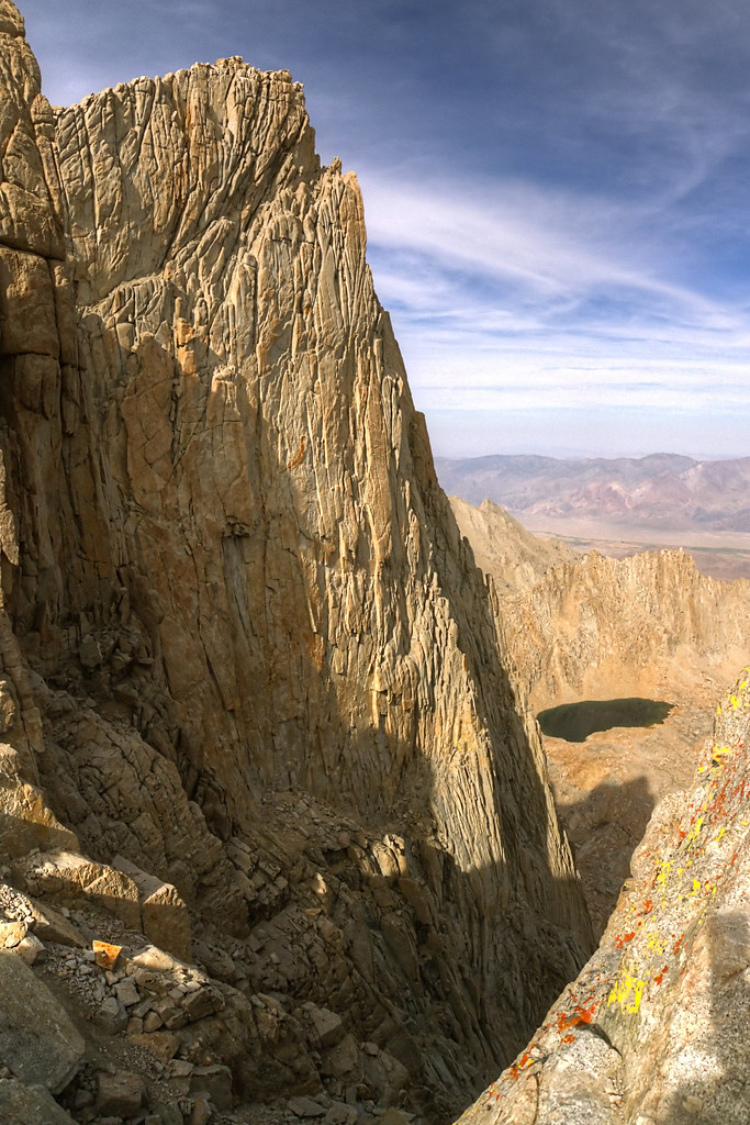
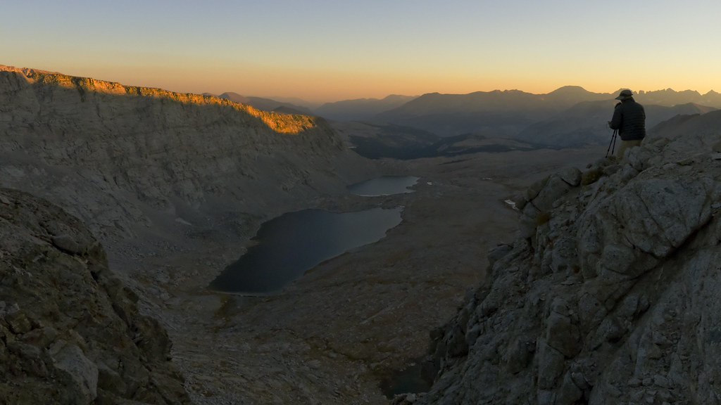
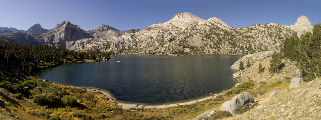
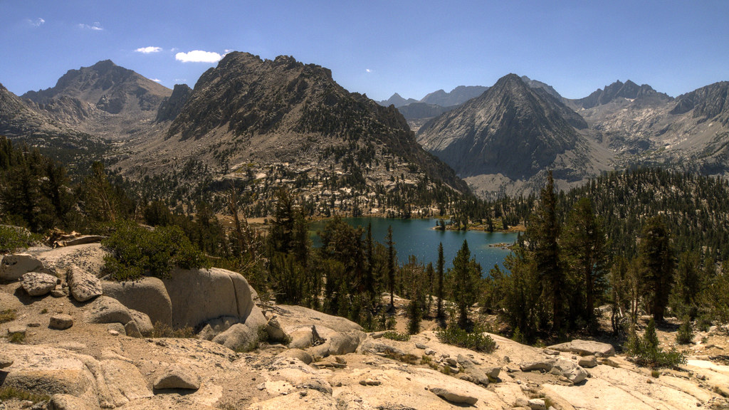
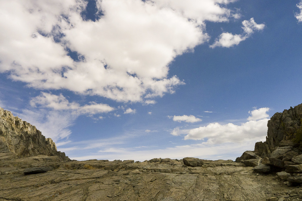
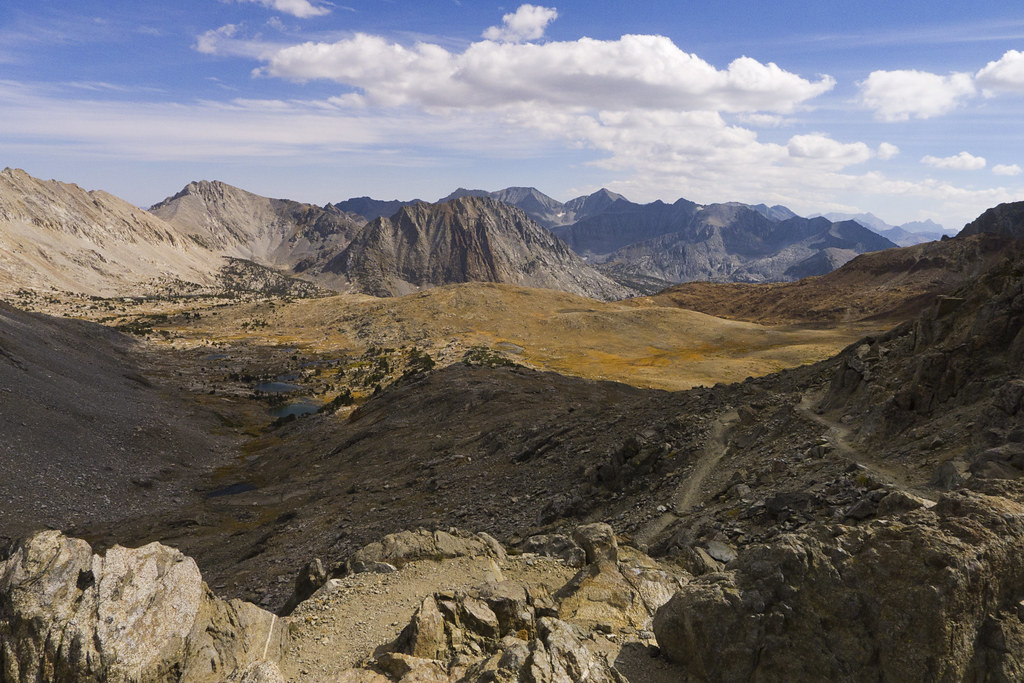
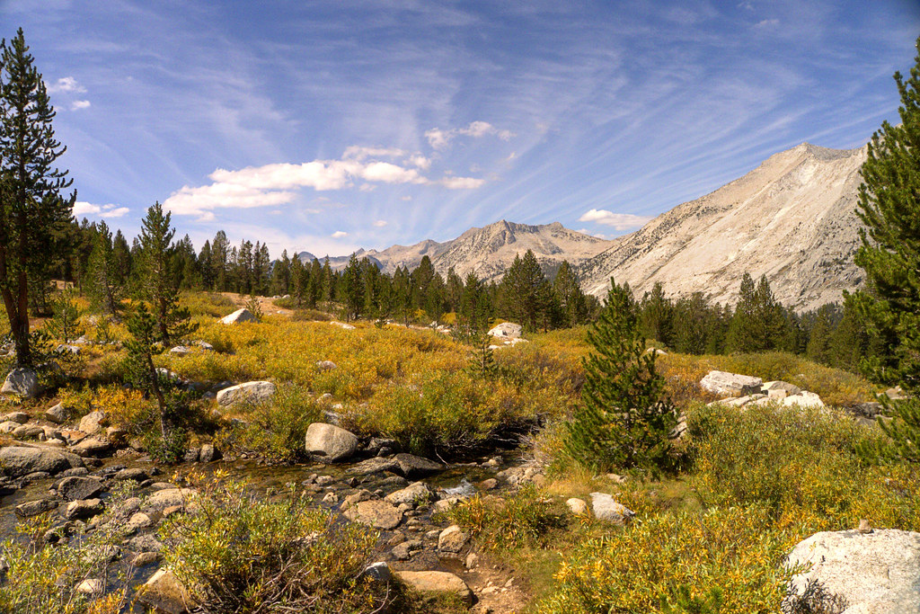
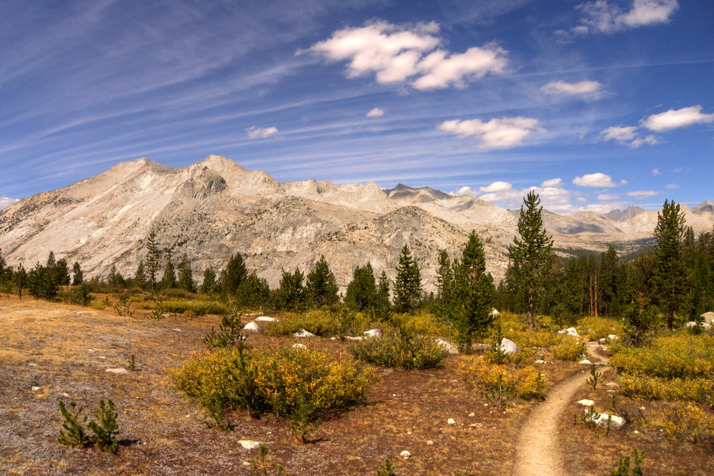
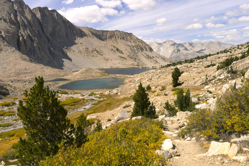
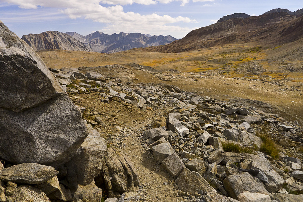
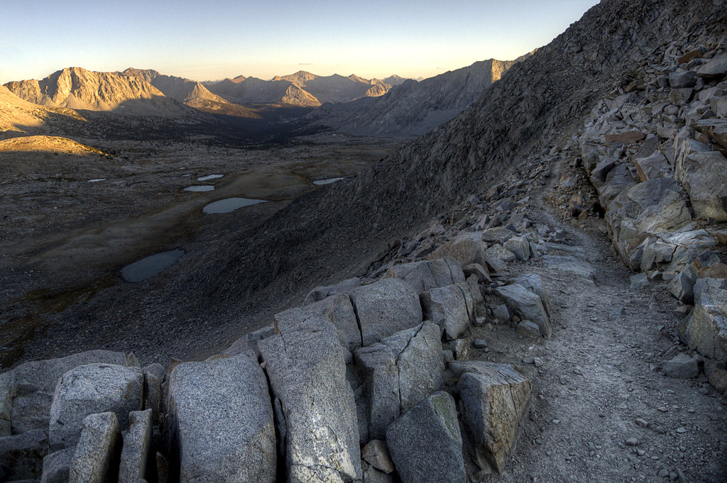
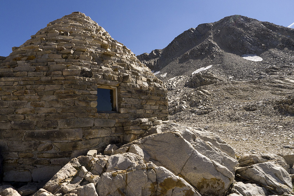
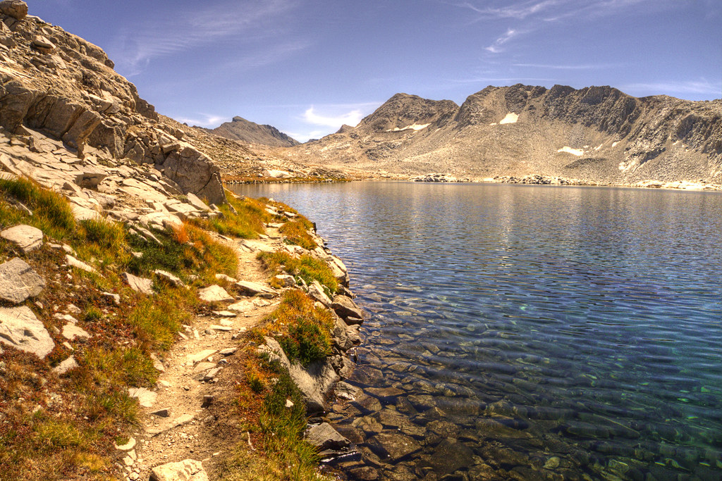
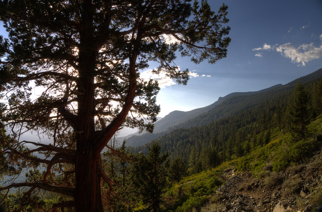
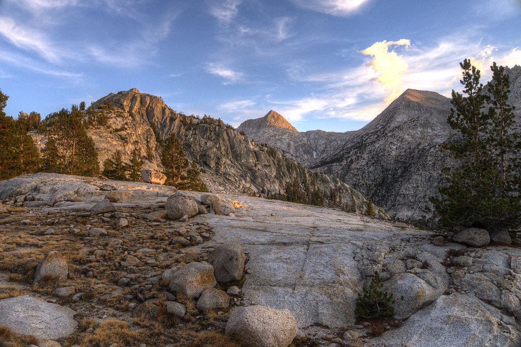
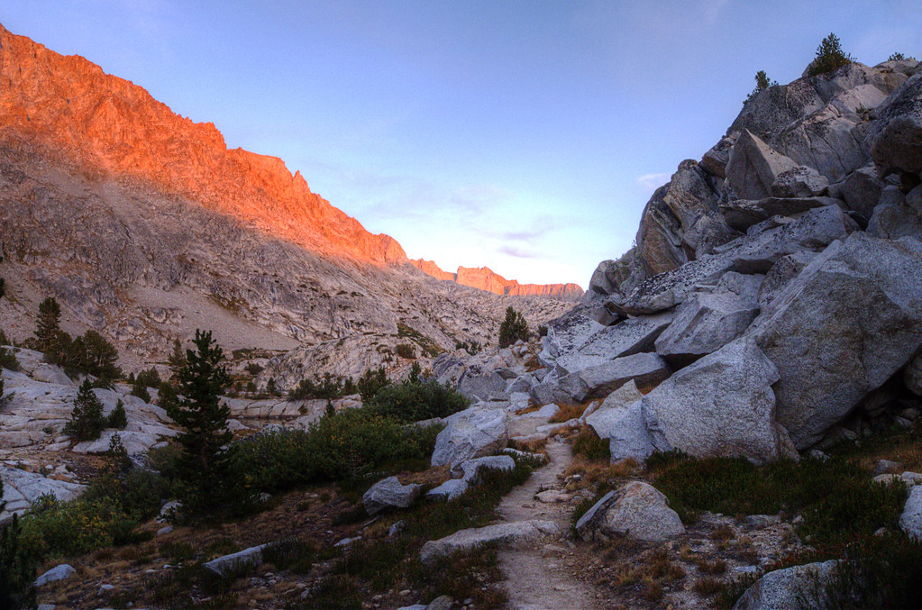
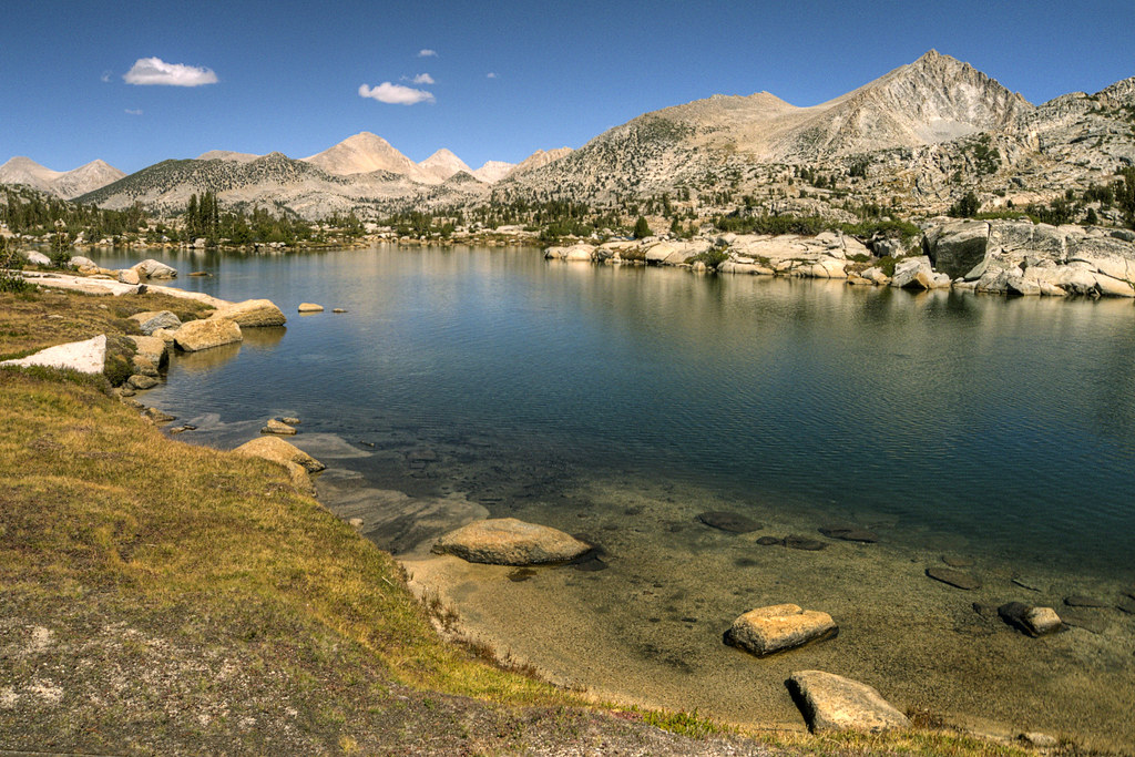
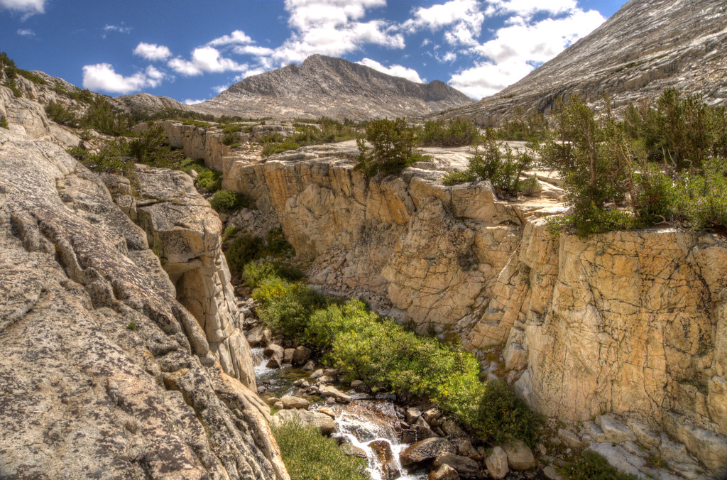
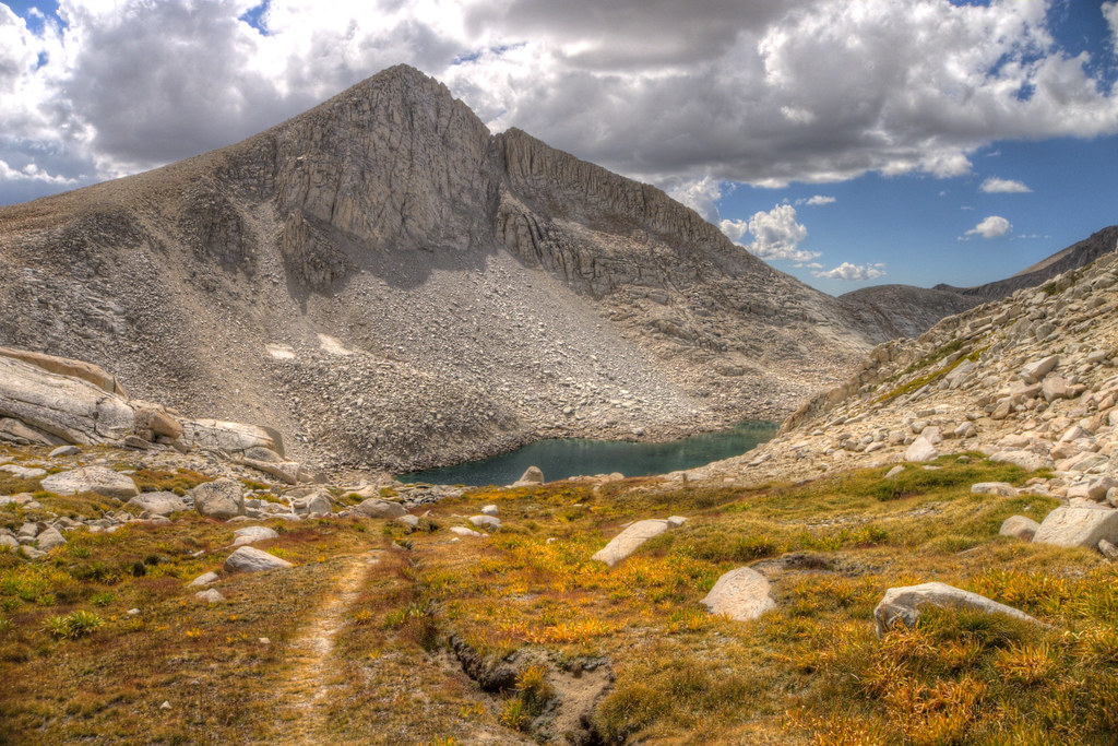
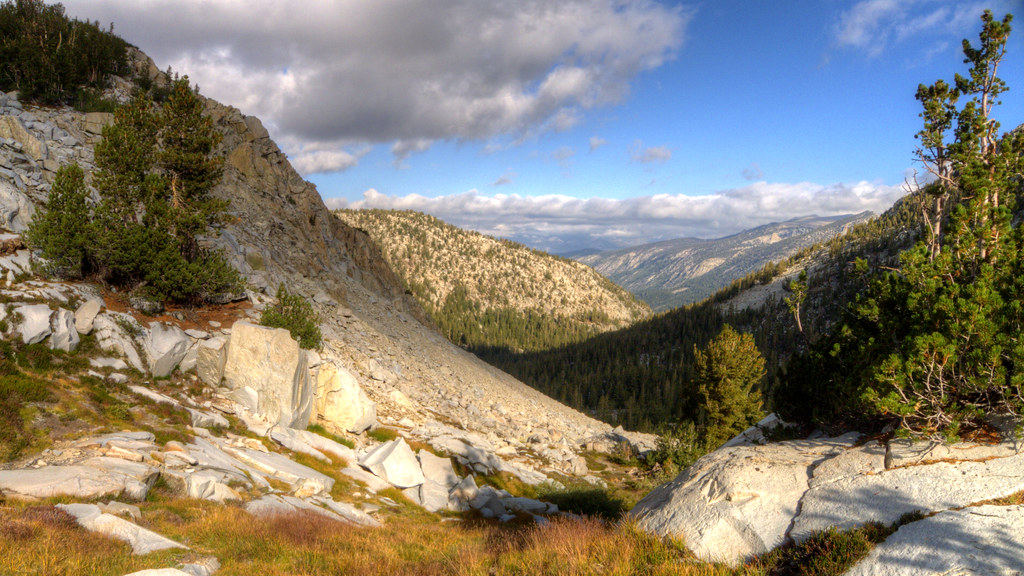
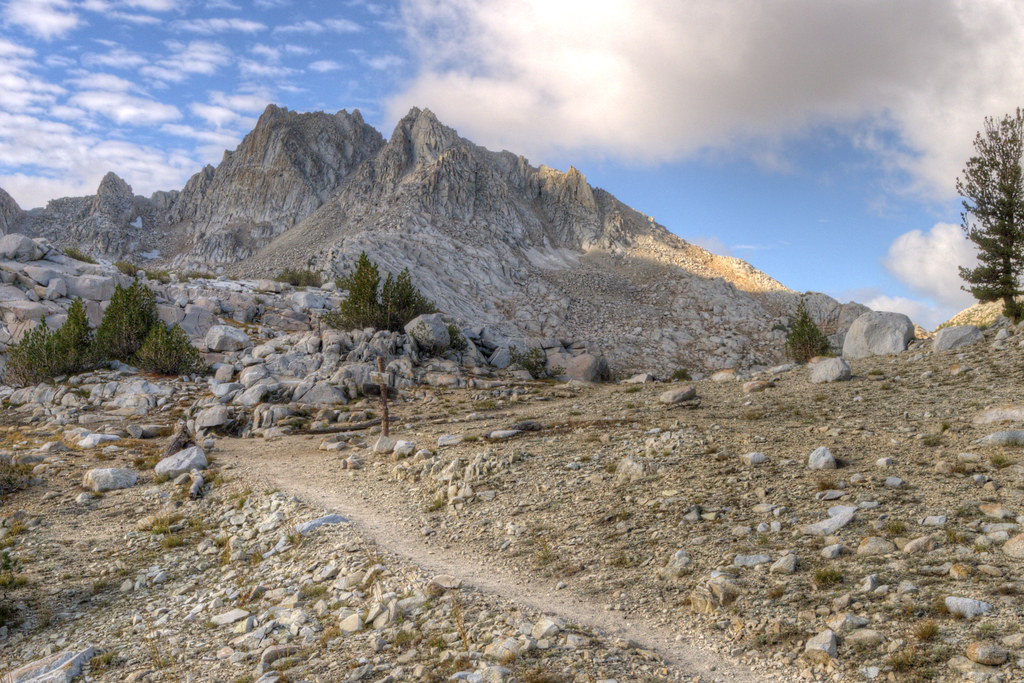
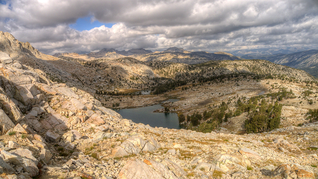
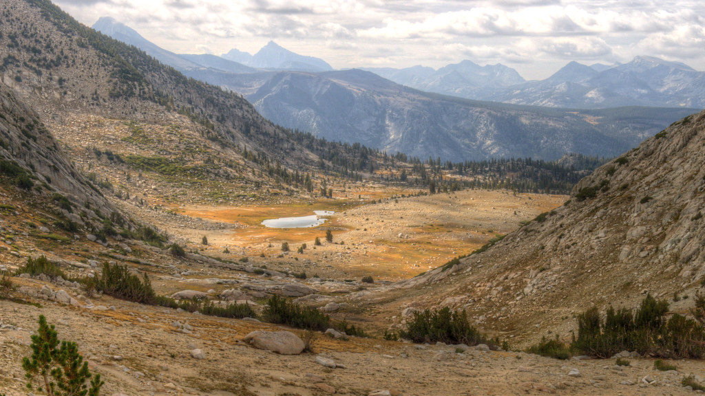
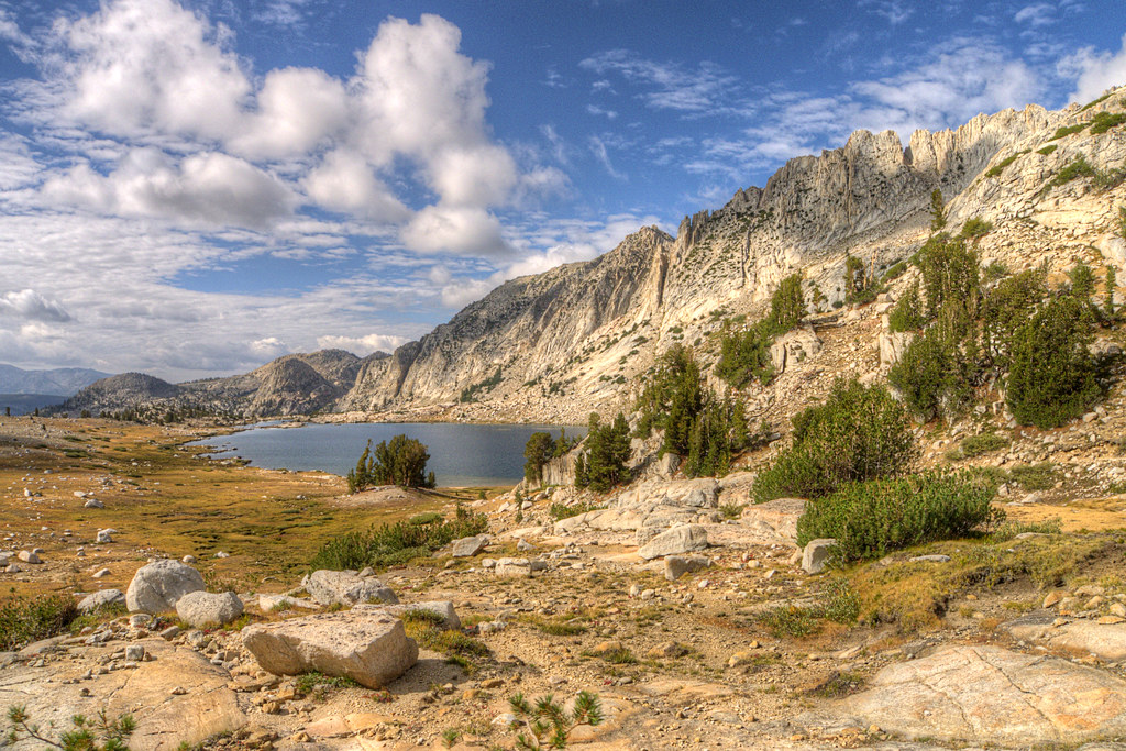
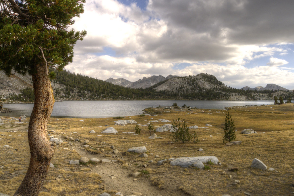
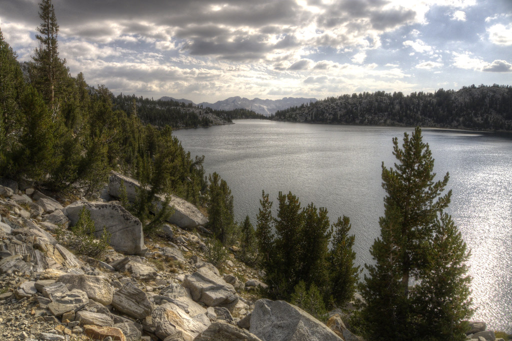
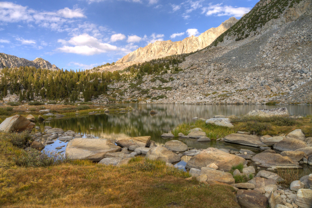
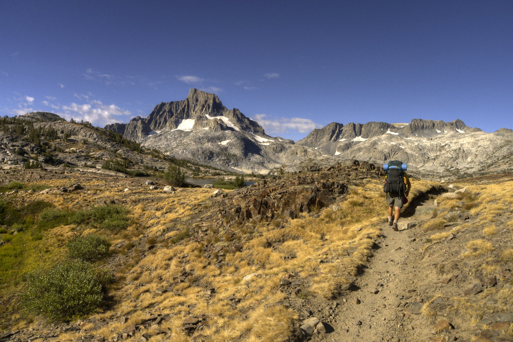
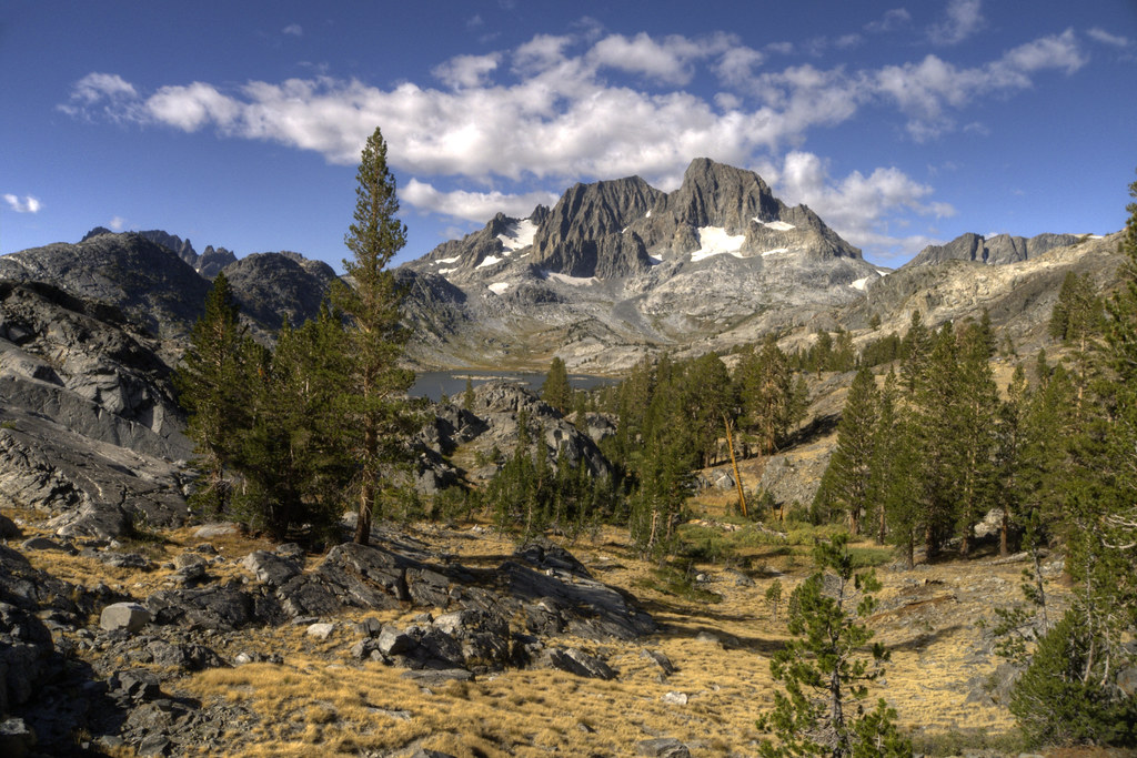
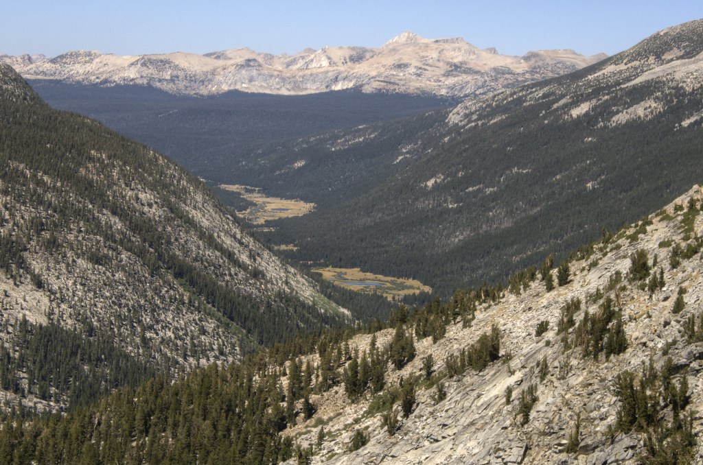
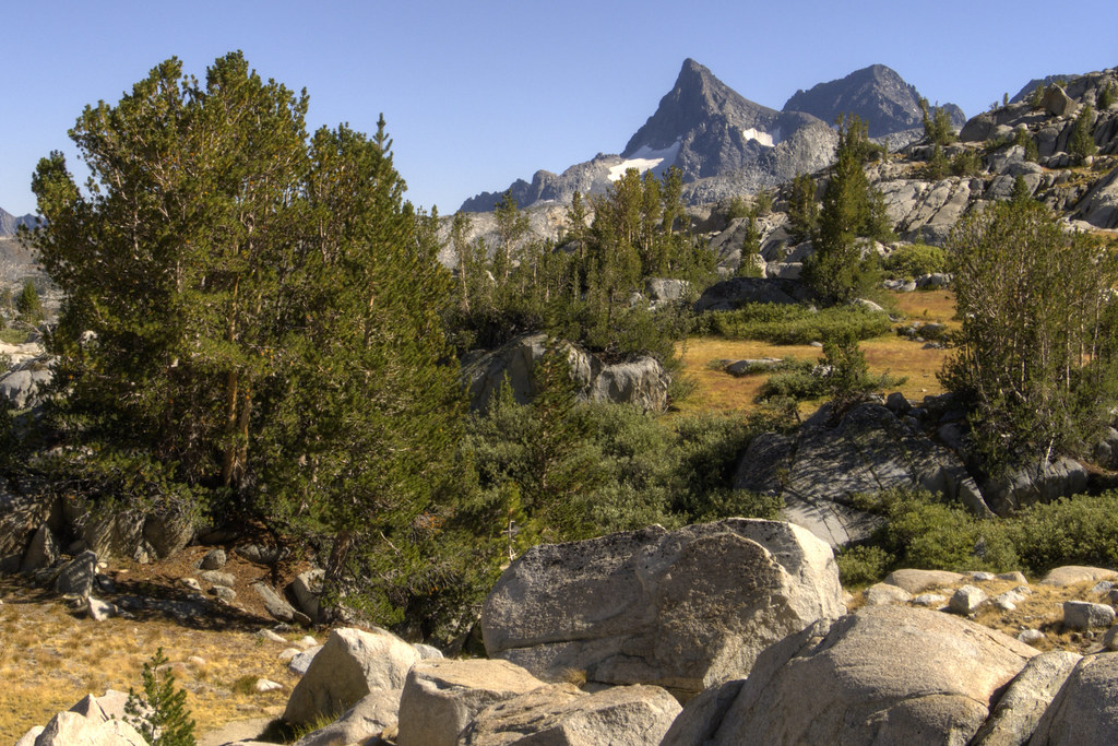
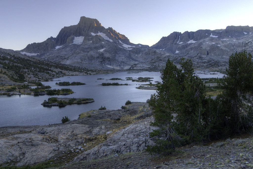
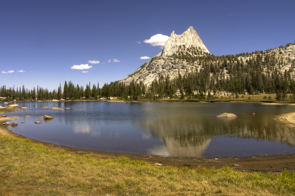
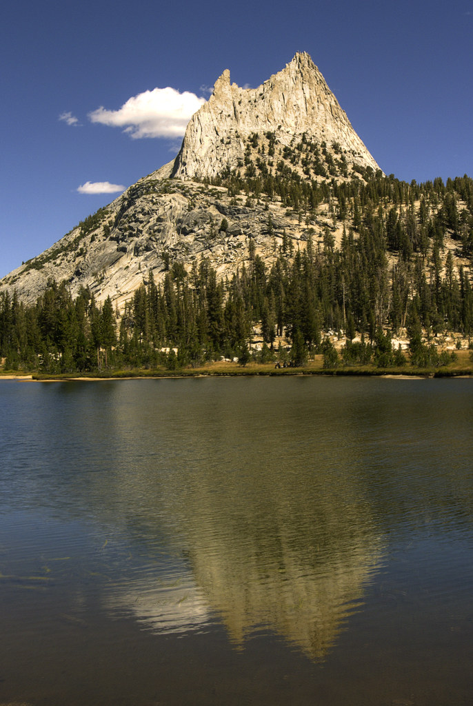
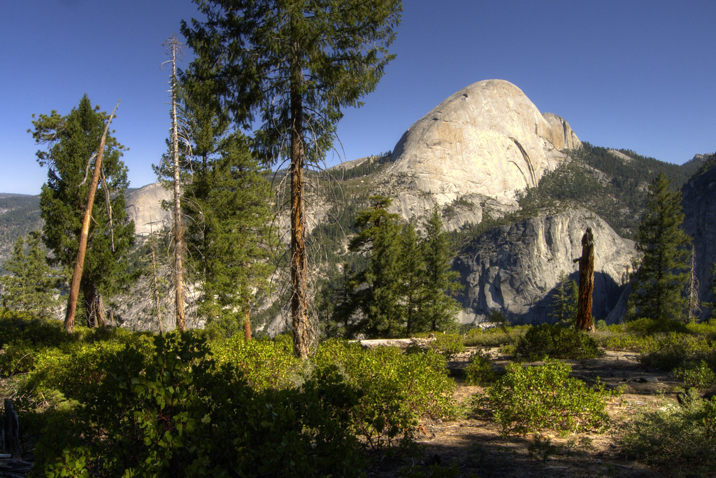
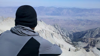
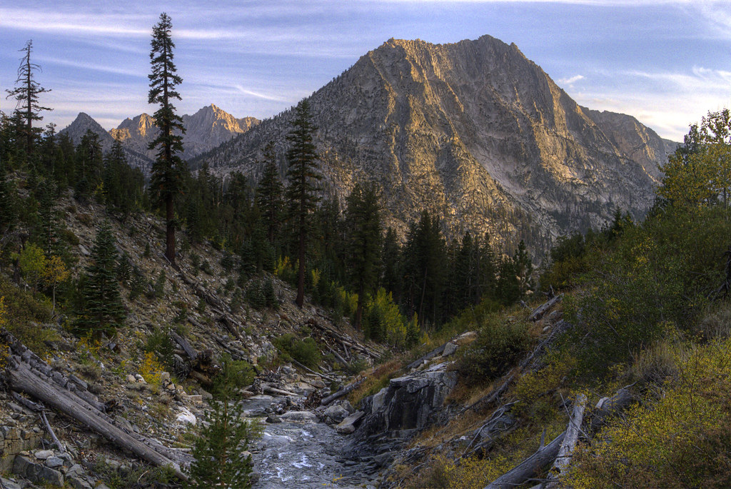
The time came for another resupply. I turned off the John Muir Trail and hiked toward the road on the other side of Kearsarge Pass. From the top of the pass, facing west, I could see pristine blue lakes and the unspoiled rocky peaks of the Sierra Nevadas. With a 180-degree turn on my heels, I could see the town of Independence, California, 7,800 feet below.

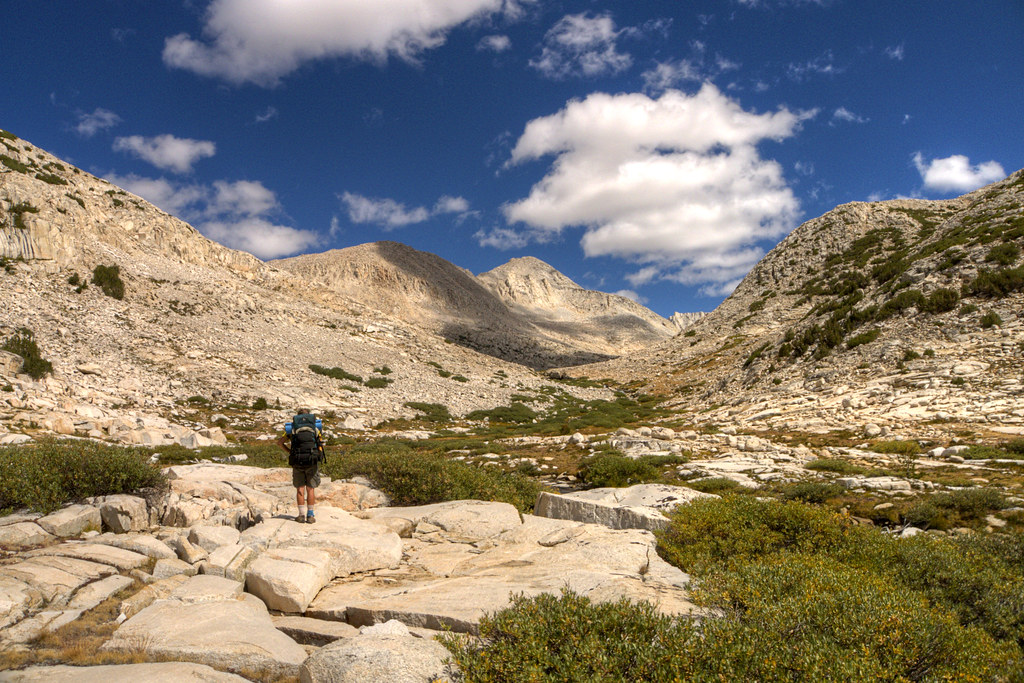
After four miles of descending switchbacks, I got to a trailhead and campground parking lot. A couple I met on top of Kearsarge, who were also hiking the JMT, were pulling food out of bear lockers that they stashed before starting their hike. I still had fifteen miles of road between food and me. It reminded me that I used to be a planner. I used to have every detail of a trip figured out before I left the house, but when I left the house nearly three months earlier, I didn’t even know I would be in California or hiking the John Muir Trail. I’ve grown to love not having a plan.

“Well, enjoy the rest of your hike,” I said to them. “And if you see anyone heading to their car, tell them the guy hitchhiking down the road is really nice and not at all a murderer.”

A half mile down the road, I heard cars behind me. I turned and put out my thumb. A defeated-looking gold Ford Taurus, that was riding the bumper of the SUV in front of it, skidded to a halt on the side of the road. 
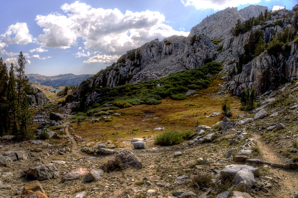
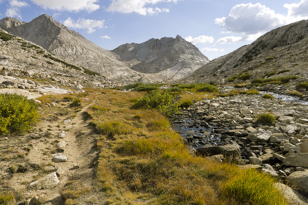
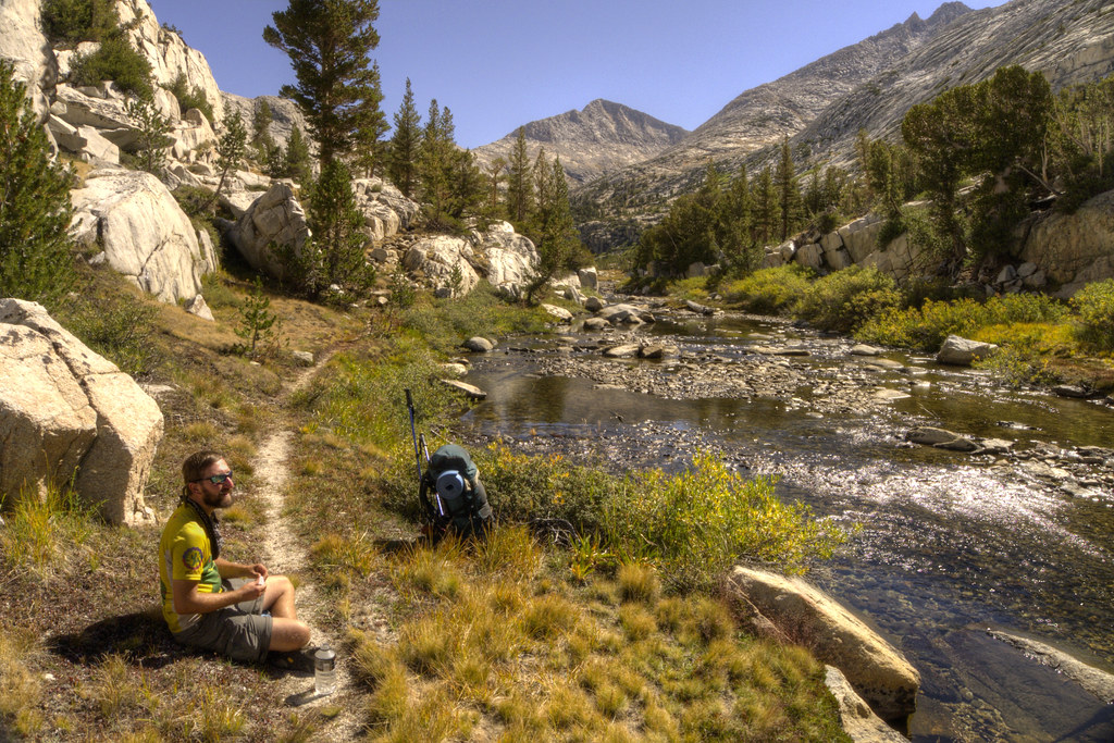
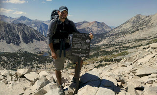
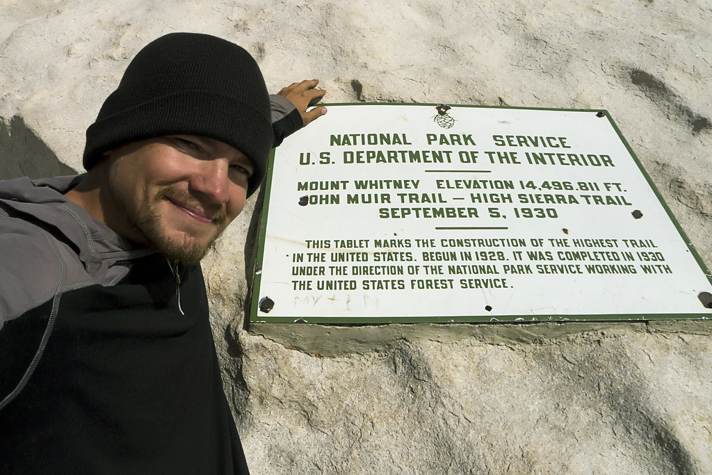
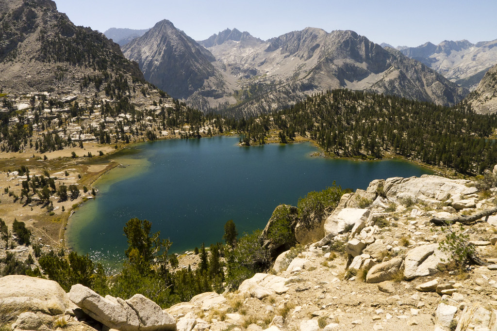
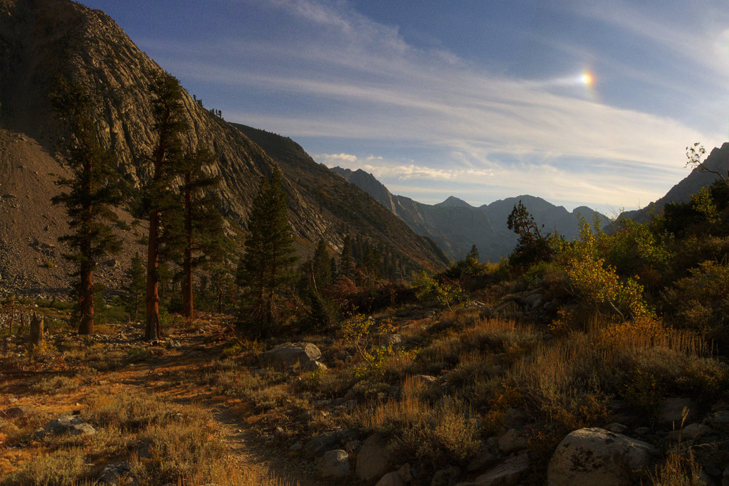
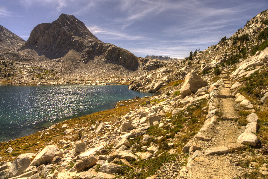
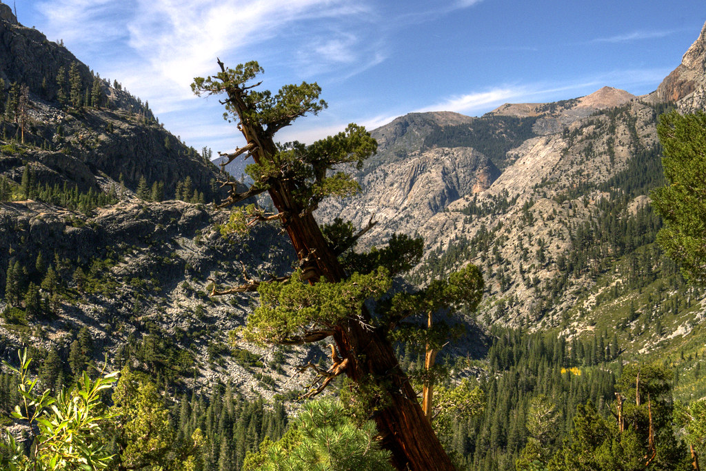
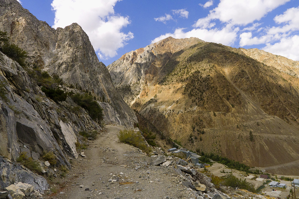
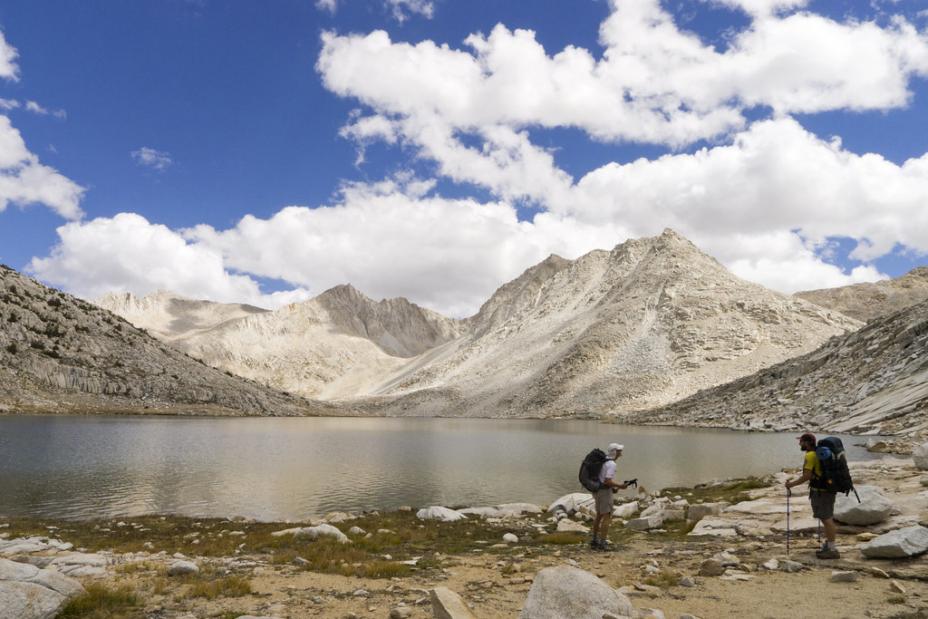
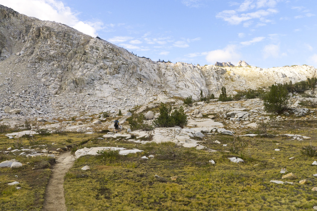
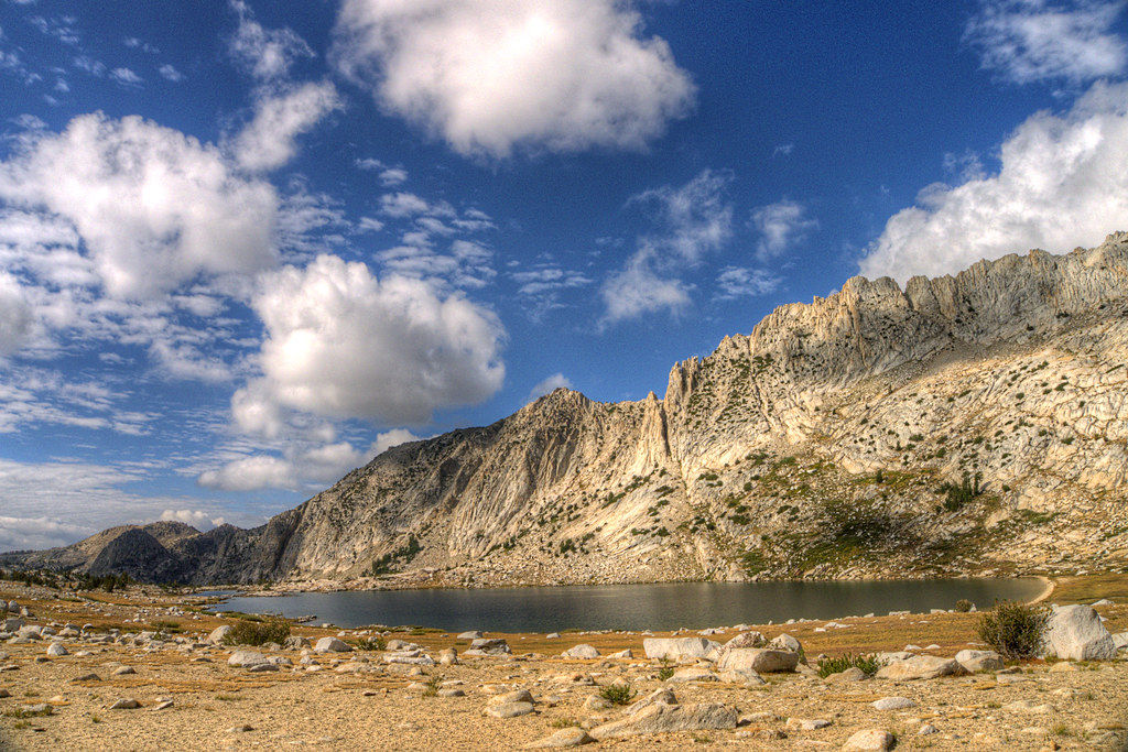
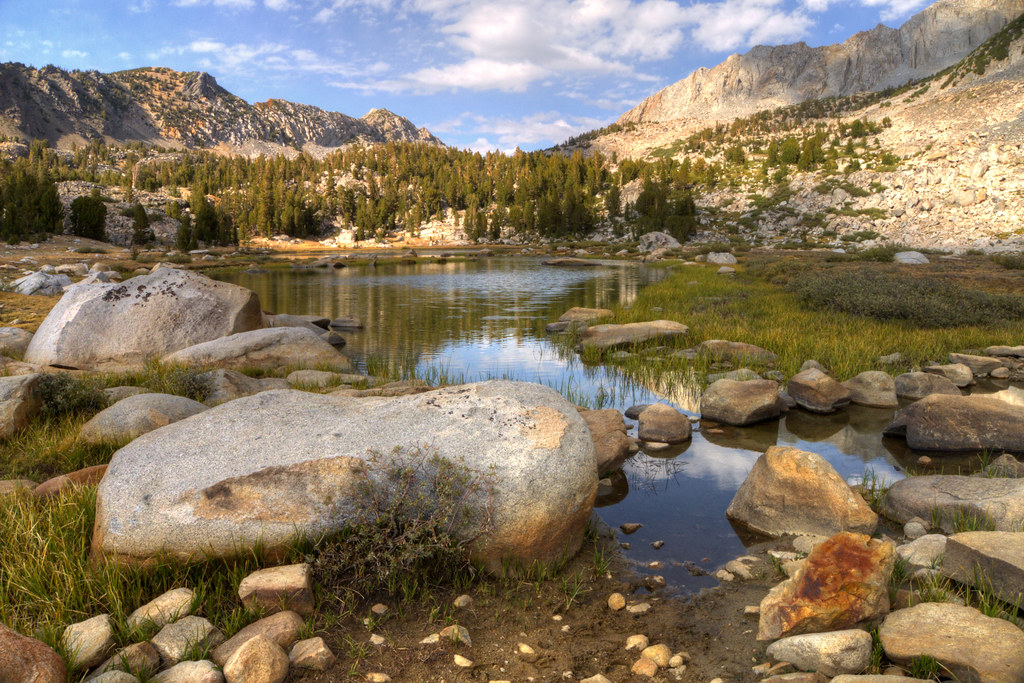
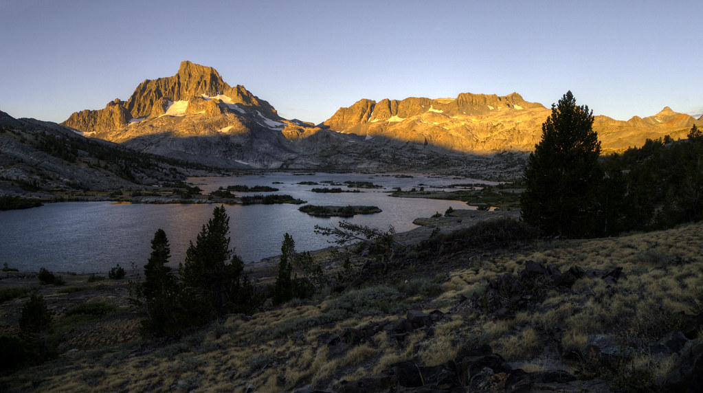
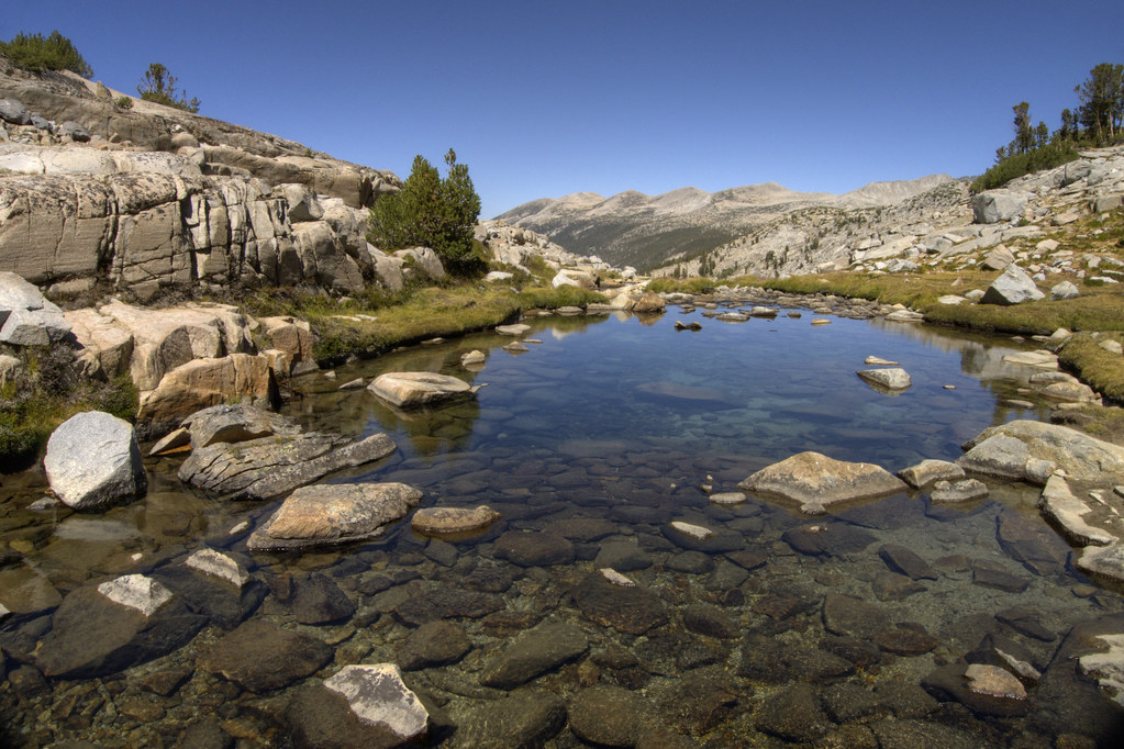
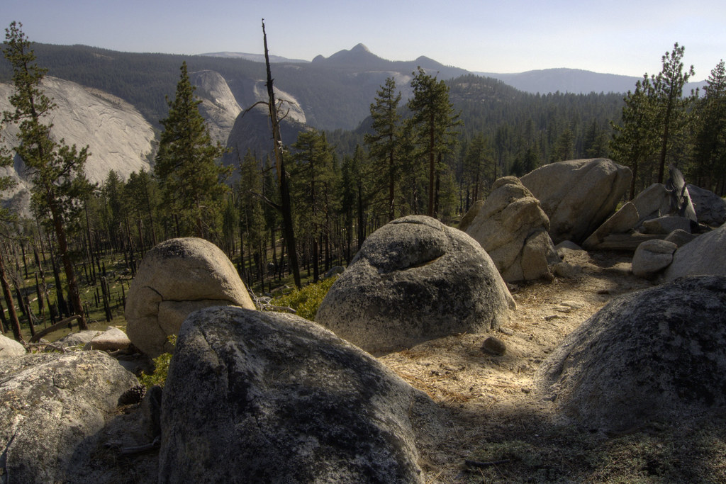
Me on Kearsarge
“Someone told me I should pick you up,” said a girl in sunglasses that covered half her face.

I tossed my gear in the back, next to all her mountain climbing gear, and got in. She put her heavy foot on the gas pedal and got back on the road, spitting gravel behind us. Every hairpin curve meant slamming on her breaks to slow down, then revving the engine to get back on the SUV’s bumper. 

“So where do you want dropped off?” she asked. “I’m going to Bishop, but I’ll be going through Independence.” 

“Anywhere in Independence is fine. I don’t really know where anything is anyway, so it doesn’t really matter," said the man without a plan.

As with most hitches, we talked about traveling, what we’ve done and where we’ve been. I noticed that my list is getting really long. 

After she dropped me off, I thanked her for the ride and hoisted my pack onto my shoulders. It didn’t take long to find a cheap place to eat. Actually, in a town with a population of 600, there is only ever one place for cheap food. The Subway in a gas station. 

They had everything I needed in addition to cheap food: washing machines, showers, and groceries. After doing all that, there wasn’t time to hitch back to the trail before dark, so I hung out in the Subway for hours. I wrote in my journal, updated my blog, and ate two feet of sandwich. (Hey, backpacking burns a lot of calories, don’t judge me.) 

“If you were homeless, hypothetically-speaking, where would you sleep in town?” I said to the woman closing up the sandwich shop. We’d gotten to know each other pretty well by this point. 

“Umm, well, there is a park just up the road,” she said while leaning on her mop handle. “And the only cops we have are from Bishop. They never come here unless they’re called."

The word homeless is such a misnomer. I had a home that night, a bare patch of ground in a thicket of shrubs  and trees in a small town park. I rolled out my sleeping pad and slept like a baby. 

It’s easy to sleep like a baby when you have no debt, no plan, and the knowledge that you could lose everything and still be okay.


Creative Commons License
A Backpacker's Life List by Ryan Grayson is licensed under a Creative Commons Attribution-NonCommercial-NoDerivs 3.0 Unported License.   

John Muir Trail Photos, Day 14: Taboose and Pinchot Passes

I pulled out my camera right before crossing over Pinchot Pass. What will be on the other side? I wanted to remember the moment, those seconds between not knowing and knowing. While backpacking, that transition is always good and exciting. What will be on the other side? On the trail, knowing is always better. That's yet another reason it's so hard to return to a normal life, where I have been reminded that sometimes ignorance is bliss.
Taboose Pass
A great sky over Taboose Pass
Lake Marjorie
Heading up Pinchot Pass
North side of Pinchot Pass
The Other Side of Pinchot
Red Rocks
Hiking Along Woods Creek
Sunbeam
Woods Creek

  
Creative Commons License
A Backpacker's Life List by Ryan Grayson is licensed under a Creative Commons Attribution-NonCommercial-NoDerivs 3.0 Unported License.   

John Muir Trail Photos, Day 13: Mather Pass

There was barely enough time to get over Mather Pass before sunset. At the top, a chilly wind whipped up and over from the other side. I stopped to get into warmer clothes, tied my bandanna around my neck and pulled my sleeves over my cold hands.

By the time I got to the valley on the other side, the sunset turned the sky pink and the lakes purple. None of the plants were green, but golden yellow. It was dead silent and there were no other hikers as far as I could see. It was easy to imagine I was traipsing over some other uninhabited planet.

Nope, still not tired of this.
LeConte Canyon
Golden Staircase
Upper Palisade Lake
Mather Pass
Just over Mather Pass, right after sunset

  
Creative Commons License
A Backpacker's Life List by Ryan Grayson is licensed under a Creative Commons Attribution-NonCommercial-NoDerivs 3.0 Unported License.   

John Muir Trail Photos, Day 11: King's Canyon

I hiked startlingly close to a whitetail deer before I realized I wasn't alone in the woods. But it didn't run away. It glared at me for a few seconds then lowered its head to continue eating off the ground. I must be close to a national park, I thought.

My guidebook didn't tell me when I crossed a park boundary, but deer are only this tame in national parks and I knew I was getting close to Kings Canyon National Park. It was confirmed when I later realized I was in a forest of giant sequoias. I setup camp under the towering trees and crossed into Kings Canyon the next morning.

Entering Kings Canyon National Park
Kings Canyon National Park
Near my campsite at Evolution Lake
Evolution Lake


A Backpacker's Life List by Ryan Grayson is licensed under a Creative Commons Attribution-NonCommercial-NoDerivs 3.0 Unported License.   

John Muir Trail Photos, Day 9: Back Over Italy Pass

Building passed on Pine Creek Road while trying to hitch
Pine Creek Trail
Pine Creek Trail
John Muir Wilderness
Striped Mountain
Honeymoon Lake
Italy Pass
Lake Italy

Creative Commons License
A Backpacker's Life List by Ryan Grayson is licensed under a Creative Commons Attribution-NonCommercial-NoDerivs 3.0 Unported License.   

John Muir Trail Photos, Day 8: Italy Pass

"I used to write a blog about my trips too," a fellow hiker said. "But I kept using the same words and embellishments to describe everything: beautiful, breathtaking, breathtaking, beautiful. I just got bored writing about it."

I run into that problem sometimes too, but the fault is ours and not the fault of the English language. I just have to try harder when describing the breathtakingly beautiful Italy Pass.

This was when Lightfoot had to get off the trail for his brother's wedding. We hiked out on the Lake Italy Trail. At the lake, we went our separate ways. I climbed over Italy Pass and headed toward the road to Bishop to resupply.

My favorite moments on the John Muir Trail were when you reach the crest of a mountain pass and peer over to the other side. It's like climbing the stone wall surrounding a secret garden. You have no idea what it will look like, except that it will be grand and, for lack of a better word, beautiful.

You reach the top of Italy Pass at an altitude of 12,500 feet. The granite slope blocking the view slowly drops away and reveals miles of land on the other side, waiting endlessly for another set of captivated eyes. The white rugged terrain seems barren at first. Then you make your way down and find it full of exquisite alpine lakes and cascading waterfalls.

I've only recently finished the hike, but not a day goes by that I don't wish I was setting up camp on Italy Pass.
Stopping for water on Lake Italy Trail
Lake Italy Trail Approaching the Lake
Our Lunch Spot
Lake Italy
Steam Engine and Lightfoot at Lake Italy
Italy Pass
Italy Pass

Creative Commons License
A Backpacker's Life List by Ryan Grayson is licensed under a Creative Commons Attribution-NonCommercial-NoDerivs 3.0 Unported License.   

John Muir Trail Photos, Day 6: Red's Meadow to Silver Pass

Ansel Adams Wilderness Near Red's Meadow
Purple Lake
Lake Virginia
Lake Virginia
Lake Virginia
Lake Virginia
Lake Virginia
McGee Pass
Creek Near McGee Pass
Creative Commons License
A Backpacker's Life List by Ryan Grayson is licensed under a Creative Commons Attribution-NonCommercial-NoDerivs 3.0 Unported License.   

John Muir Trail Photos, Day 5: Thousand Island Lake to Red's Meadow

Breakfast by Thousand Island Lake
Thousand Island Lake
Lightfoot at Garnet Lake
Lightfoot
Ruby Lake
Devil's Postpile National Monument

  
Creative Commons License
A Backpacker's Life List by Ryan Grayson is licensed under a Creative Commons Attribution-NonCommercial-NoDerivs 3.0 Unported License.   

John Muir Trail Photos, Day 4: Lyell Canyon to Thousand Island Lake

Lyell Canyon
Lyell Canyon Going Up Donahue Pass
Lyell Canyon
Donahue Pass
Lyell Canyon View From Donahue Pass
Ansel Adams Wilderness
Thousand Island Lake
 
Creative Commons License
A Backpacker's Life List by Ryan Grayson is licensed under a Creative Commons Attribution-NonCommercial-NoDerivs 3.0 Unported License.   

John Muir Trail Photos, Day 3: Sunset Creek to Lyell Canyon

On the third day, I hiked 18 miles passed the Cathedral Lakes, through Tuolumne Meadows and into Lyell Canyon.
Cathedral Peak
Upper Cathedral Lake
Tuolumne River
Lyell Canyon, Tuolumne River
Cathedral Peak, Upper Cathedral Lake
Lyell Canyon, Tuolumne River
 
Creative Commons License
A Backpacker's Life List by Ryan Grayson is licensed under a Creative Commons Attribution-NonCommercial-NoDerivs 3.0 Unported License.   

John Muir Trail Photos, Day 2: Nevada Falls to Sunset Creek

Another beautiful day, but my memories are mostly of the night. Someone left a note by a creek stating the next water source was dry, so I climbed up a hill beyond the creek and setup camp. I ate dinner on a rock with a view and watched the sunset. It's one of my favorite moments in a day and such a regular practice on the trail, yet it's rare that I do this off the trail.
Half Dome
Clouds Rest
Dinner With a View
After the Sunset

Creative Commons License
A Backpacker's Life List by Ryan Grayson is licensed under a Creative Commons Attribution-NonCommercial-NoDerivs 3.0 Unported License.   

John Muir Trail Photos, Day 1: Happy Isles to Nevada Falls

I started late my first day, so only hiked in four miles. Far enough to have a great view at sunset, though. Nevada Falls was one of the few waterfalls still flowing this late in the year. At dusk, I detoured onto the Panorama Trail for a better view of Half Dome from camp under the full moon. And to avoid crowds in Little Yosemite Valley. And because I took a wrong turn.
Nevada Falls at Dusk
Looking Down Nevada Falls, 594 feet, to Merced River
Nevada Falls at Sunset
Sun Setting in Yosemite Valley
Stars Over Half Dome, 60-second exposure
Half Dome, Liberty Cap, and Nevada Falls

Creative Commons License
A Backpacker's Life List by Ryan Grayson is licensed under a Creative Commons Attribution-NonCommercial-NoDerivs 3.0 Unported License.   

John Muir Trail: Take Another Step

Upon hearing about the 3,000 miles I've hiked in the last fifteen months, a woman asked me, "Aren't you tired of hiking yet?"
I can't imagine ever being tired of it. Tired, as in exhausted, sometimes, but never tired of it. The next day while fording a river, I thought of one reason why.
It's not only the beauty. No, sometimes the forest is ordinary when I feel my heart might burst. Beautiful, yes, but ordinary. It's the freedom of the forest I love. And the simplicity of the walk.
Just take a step... and that's it.
No alarm clocks, no phone calls.
Take another step.
No traffic, no news, no ads.
Just take another step.
At the river crossing, there are no meetings, no lunch-and-learns, no primary-action-items, no office politics. Just you pulling off your shoes and peeling off your socks. No bosses, no fake smiles, no fake laughs. Just smooth polished stones under your bare feet.
You stop for a moment to stare upstream at the perfect bend of an ancient river. Always new, but ancient. You gaze up at the valley that the water has slowly cut into the solid granite. The same cold water that flows so softly passed your ankles.
There are no computers, no fluorescent-lit cubicals, no ergonomics. Just you closing your eyes and breathing in the sweet smell of pine. No stress, no demands, no corporate ladders. Only you and the forest. And everything is beautiful. Then that feeling rises in your chest and you think your heart might burst.
All that is required is that you just look. Just feel. Just breathe. Just be... Then take another step.
  
Creative Commons License
A Backpacker's Life List by Ryan Grayson is licensed under a
Creative Commons Attribution-NonCommercial-NoDerivs 3.0 Unported License.